Šumava National Park: Gateway Towns, Lakes and What to See
Šumava National Park is the Czech Republic's largest national park, with visitor centers at Kvilda, Stožec and Srní and quiet zones that shape any visit.
On this page
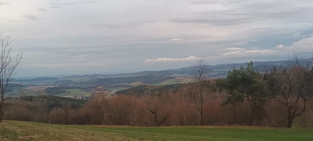
Šumava is a belt of forest, bog and highland along the German and Austrian borders in southwestern Czechia, protected as a national park together with the surrounding Šumava Protected Landscape Area. Plan a visit around a named visitor center and an edge town, because the park is large and its quiet zones restrict where you can move. This guide covers the gateway towns, the visitor centers that anchor a day, the classic sights, the rules, and how the park fits a route from Prague, Plzeň or České Budějovice (Budweis).
The park administration manages both the national park and the surrounding Šumava Protected Landscape Area, so the rules you meet are not uniform: core national park zones, quiet areas and the wider protected landscape each carry their own visiting restrictions. Check the administration's own pages for the current zoning before you fix a route.
Where the park is and how it is organized
Šumava lies in southwestern Czechia along the border with Germany, a forested highland that continues into Bavaria as the Bohemian Forest. The park administration is responsible for both the national park and the Šumava Protected Landscape Area, which is why the boundary you cross on a map is not the same as the boundary of the strictest rules.
Think of the park in two layers. The national park is the protected core, and within it new zoning has created quiet areas where movement is limited. The protected landscape area wraps around that core and takes in towns, meadows and managed forest where ordinary visiting is easier.
The administration publishes its zoning, quiet areas and visiting regulations as separate, current pages, and those pages, not an old guidebook, are what you should plan against. The same site sets out the visitor centers and parking areas it maintains for the public.
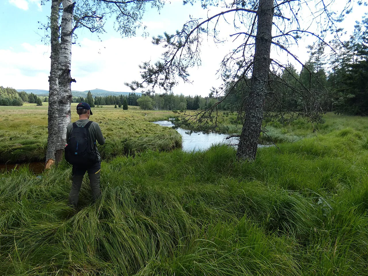
Visitor centers as your practical anchor
The park administration lists visitor centers at Kvilda, Svinná Lada, Stožec, Kašperské Hory, Alžbětín and Idina Pila, and information centers at Srní and Kvilda. These are the practical anchors: each gives you orientation, exhibits and a starting point for short walks in its own corner of the park, rather than a single park-wide hub.
Pick the center that matches your route rather than trying to collect them. Kvilda sits on the central plateau, Stožec and Idina Pila serve the southern forest near the German border, Kašperské Hory guards the northwestern edge, and Alžbětín is the western border point near the Bavarian side.
The Kvilda information center complements the Kvilda visitor center in the same village, so check which one offers what before you drive there. Opening seasons for individual centers are not something to assume; the administration publishes current information on its site.
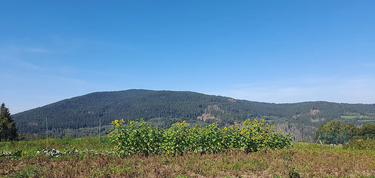
Edge towns as bases or stops
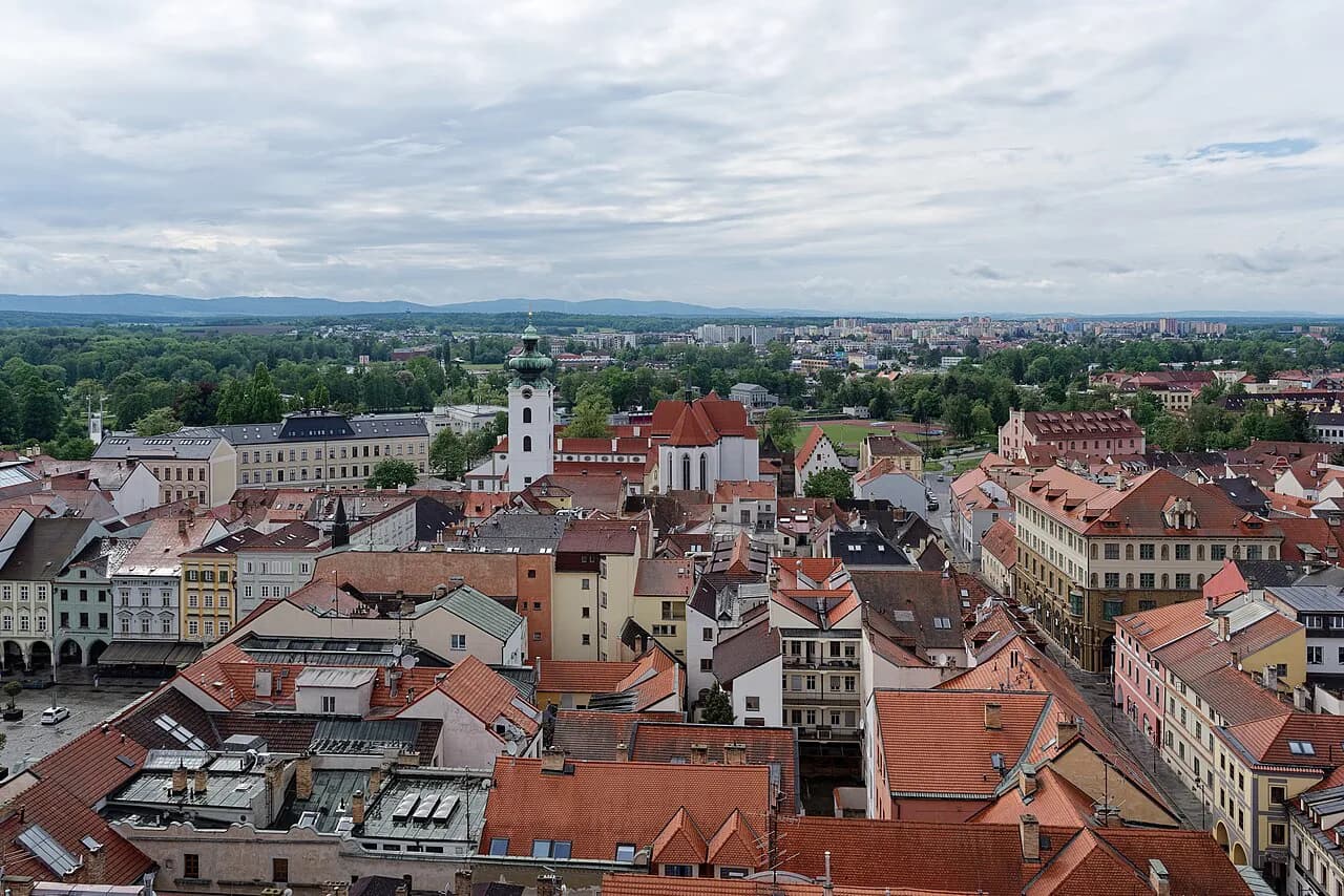
České Budějovice (Budweis) is the largest city in south Bohemia and the most useful rail and bus hub for approaching Šumava from the east, with a compact old town around Přemysl Otakar II Square. Treat it as the transport anchor and spend your sightseeing time there before or after the park.
Prachatice sits closer to the forest and makes a natural staging point on the eastern approach, with its own old town, and the Lipno reservoir area gives you water and a family-friendly counterweight to the forest.
Třeboň and Jindřichův Hradec lie in the pond country to the east and pair well with a Šumava loop if you are driving, while Tábor covers the northern approach from Prague. Any of these can serve as a base, but the park itself is best reached early in the day from whichever you choose.
Seeing Šumava by car and where to stop
The administration maintains parking areas along the main routes and publishes them as a map layer, which is the honest way to plan a driving day: choose a parking area, walk from there, and keep the car put. Because the quiet zones limit movement, a car gets you to the trailhead or visitor center, not into the core of the park.
Roads in the borderland are narrow and slow, and weather on the plateau is often worse than in the towns below. Build slack into the day and treat the drive between two visitor centers as its own half-day rather than a quick hop.
Short walks and nature interpretation
Šumava is a walking park, but you do not need long-distance routes to see it: the administration's excursion pages and the visitor centers point to short, interpreted walks from their own locations. That is the sensible shape for a day trip, because the best-known sights sit close to the centers and to the parking areas.
Expect signage and interpretation in Czech, with German common on the border side; English is not guaranteed on every panel. The visitor centers are where you are most likely to find materials you can read, so start there rather than at a roadside trailhead.
The classic sights: lakes, the Vltava source and Boubín
The glacial lakes are the emblem of Šumava, dark water under forested slopes, and they are what most travelers come for. Access and any seasonal restrictions on individual lakes are set by the administration, so confirm them on its pages rather than assuming a lake is open because it appears in a photograph.
The Vltava rises in the Šumava highlands, and the source area is a standard stop on a park circuit. Boubín, the great old-growth forest on the eastern side near the protected landscape area, is the other classic name; both are places to approach from a designated starting point rather than to wander into.
The wider setting is the Bohemian Forest, the cross-border woodland that carries the same landscape into Germany. If you are driving a border route, that continuity is the point: the forest does not stop at the border post.
Zones, quiet areas and wildlife
The national park exists to protect habitats for rare animals and plants, and the quiet areas are the mechanism that makes protection work. That means some parts of the park are closed to visitor movement, and the administration's new zoning page is where those boundaries are defined.
Treat the restriction as part of the visit rather than an obstacle. The centers, the parking areas and the marked short walks give you plenty of contact with the landscape, and staying on them is what keeps the core undisturbed.
Getting there from Prague, Plzeň or České Budějovice
The practical gateways are Plzeň (Pilsen) and České Budějovice (Budweis). Plzeň is the western approach, closest to the Kašperské Hory side; České Budějovice is the eastern hub, with rail and bus connections onward into the foothills. From Prague, both cities are the first leg, and the park is a second leg from there.
Public transport reaches the edge towns and some of the villages, so check connections before you commit to a base; a car or a local transfer makes the last stretch to the interior easier. The administration's own transport and parking pages are the place to confirm what is reachable.
Costs in CZK and what the park administration charges for
The park administration's site describes its visitor centers, excursions and parking as services it provides; entry to the landscape itself is not sold as a single ticket at a gate. Where charges apply, they are set per facility, so look up the current details for each center or parking area before you go.
Budget in Czech koruna and carry cash for small village facilities, since card acceptance thins out away from the towns. Museum and exhibition admissions inside the centers, and any parking charges, are the items to look up on the administration's current pages before you go.
Weather and webcams as a pre-trip check
Šumava sits on a mountain border and makes its own weather: fog, rain and snow can sit on the plateau while České Budějovice is dry. The administration runs webcams, and checking them the morning you plan to drive in is more useful than any forecast for the towns below.
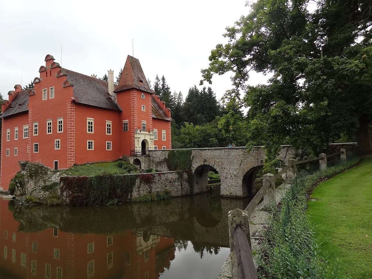
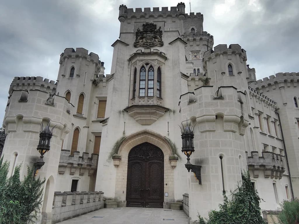
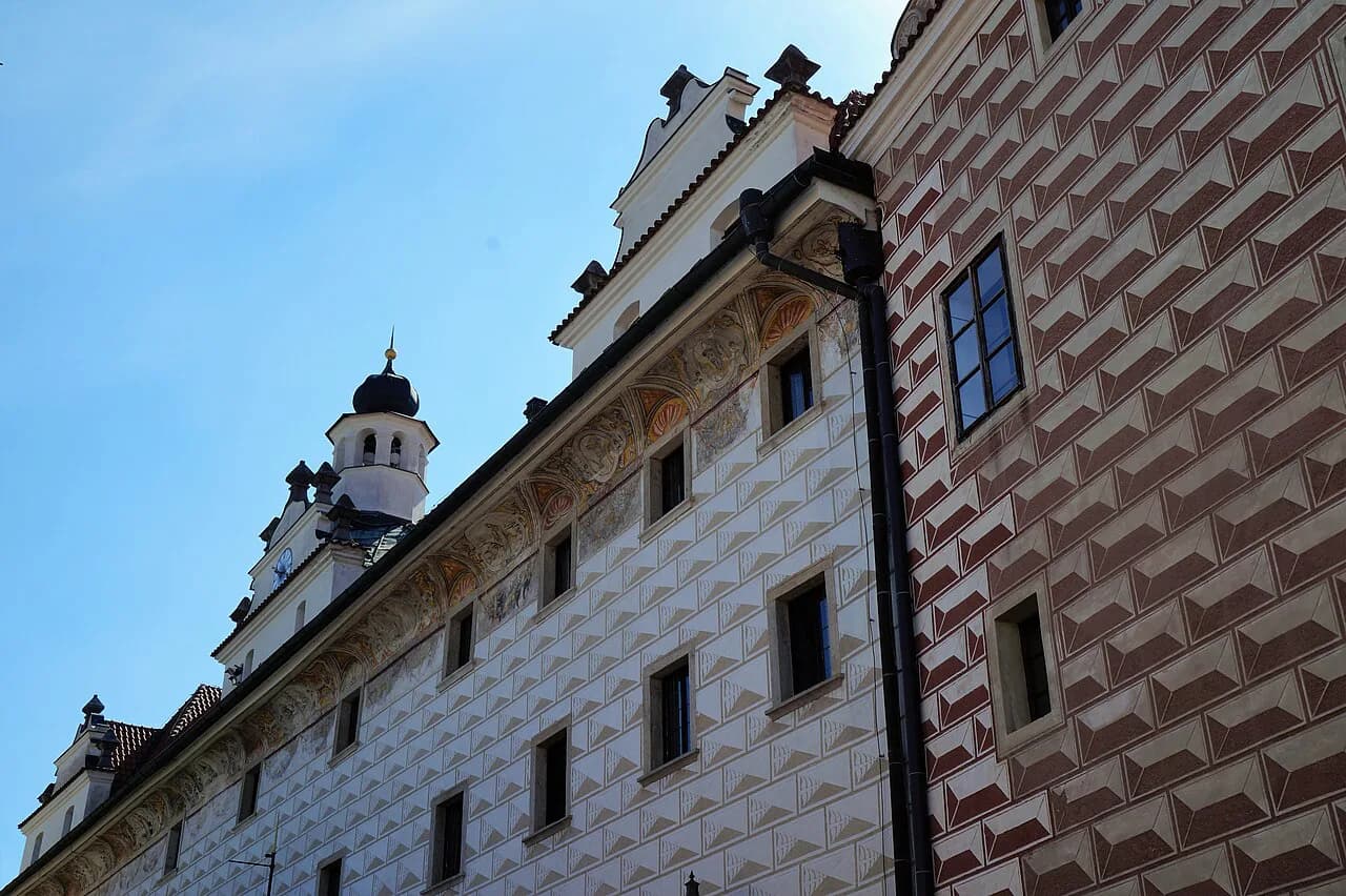
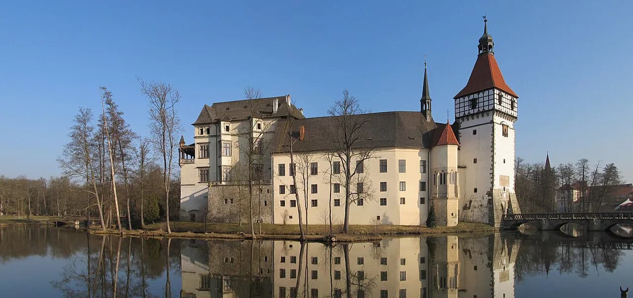
If the webcams show cloud on the ridge, move the day to a town: the chateau at Hluboká nad Vltavou, or the old center of České Budějovice, are the standard wet-day alternatives in the region.
Pick a gateway, then a visitor center
Choose one gateway town, then one visitor center, and build the day around the short walks and parking areas that serve it. That combination, not a list of sights, is what makes Šumava work as a stop on a south Bohemia route.
If you are coming from Prague, go via Plzeň for the Kašperské Hory side or via České Budějovice for the Kvilda and Lipno side. Keep the park day flexible and let the webcams decide whether you drive in or switch to a chateau or a town square.
Explore more České Budějovice guides
Frequently Asked Questions
Is Šumava National Park free to visit?
There is no single gate ticket for the landscape itself. The park administration sets any charges per facility, such as visitor centers and parking areas, and publishes them on the relevant pages, so check there rather than assuming a park-wide fee.
Do I need a car to see Šumava?
A car makes the park far easier, because public transport reaches the edge towns and some villages but not the interior trailheads and visitor centers. Without one, pick a base on a bus or rail line and plan around a single center.
Can I walk anywhere in the park?
No. New zoning has created quiet areas where visitor movement is restricted to protect habitats, and the park administration defines those boundaries on its own pages. Plan walks from visitor centers and designated parking areas.
Where is the Bohemian Forest?
The Bohemian Forest is the cross-border woodland that runs along the Czech-German border in southwestern Czechia, continuing into Bavaria. Šumava National Park protects the Czech side of it, together with the surrounding Šumava Protected Landscape Area.
Sources
Notes for your Czech trip
Optional updates to our Czech town guides.
You might also like
Continue reading
More guides you'll find useful