Ostrava Map: How the City Is Laid Out and Where to Get a Map
Ostrava spreads across named districts, so a good map matters. See how the center, Dolní Vítkovice and outer sights sit, and where to pick up a free map.
On this page
Ostrava is a statutory city in the Moravian-Silesian region of the Czech Republic, built from named districts rather than a single compact downtown, so the right map is the one that shows districts and tram lines together. This guide lays out how the center, the southern neighborhoods and the industrial sights fit together, then points you to free printed and downloadable maps.
Ostrava sits near the Polish border at the confluence of the Odra, Opava, Ostravice and Lučina rivers, which explains why the city sprawls instead of radiating from one square. Keep that river-and-district picture in mind and an address here stops looking like a random string of names.
Where Ostrava sits and what its footprint looks like
On a country-scale map, Ostrava is the big city in the far northeast of the Czech Republic, closer to the Polish border than to Prague or Brno. It is the core of the Moravian-Silesian region, and its built-up area runs out toward surrounding towns rather than stopping cleanly at a ring road.
The practical consequence is that "Ostrava" on a map covers a lot of ground, from a dense historic core to industrial zones and residential districts several tram stops away. When you read an address, look at the district name after the street, because it tells you which part of that footprint you are heading to.
The center: Moravská Ostrava a Přívoz
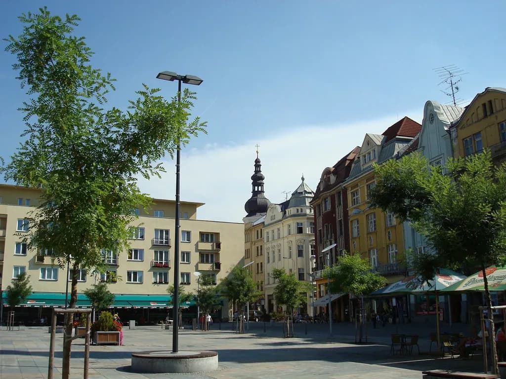
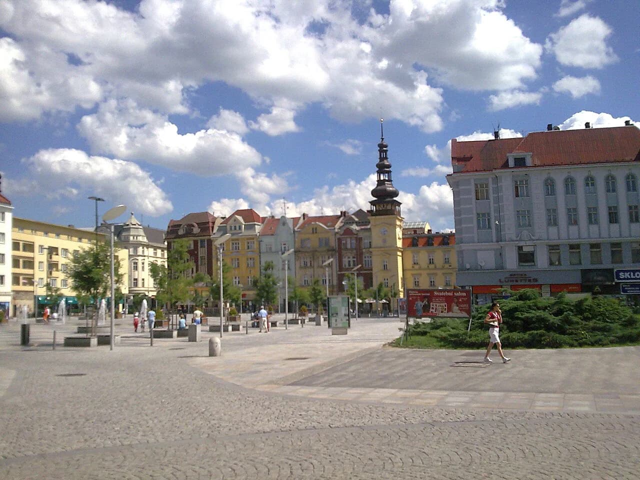
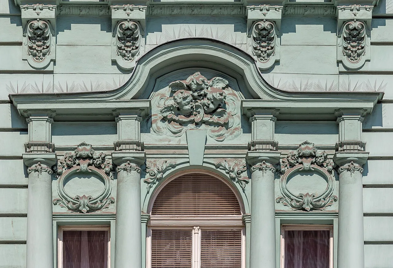
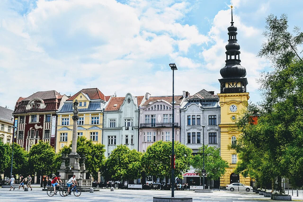
Moravská Ostrava a Přívoz is the central city district, and it is where most visitors spend their walking time. The main railway station sits in Přívoz, and the historic core with its squares and the New City Hall viewing tower lies a short hop west in Moravská Ostrava.
On a map, treat this district as your anchor: find the station, find Prokešovo náměstí with the New City Hall tower, and you can orient everything else around those two points. The official tourist offices are clustered here too, so arriving without a plan still leaves you close to a paper map and someone to ask.
Once you have the center fixed, the industrial sights east of it read as a separate cluster rather than an extension of downtown. The guide to Dolní Vítkovice explains what fills that cluster and how to plan a visit around it.
South and east: Ostrava-Jih and the districts beyond the center
Ostrava-Jih is the large southern district, a residential area of housing estates rather than a sightseeing quarter, and it shows on the map as a broad band south of the center. The INFO JIH!!! tourist office on Horní street serves that side of the city, open on weekday mornings and afternoons.
Ostrava-Svinov lies to the northwest and has its own railway station, which matters if your train stops there rather than at the main station. The Svinov office opens daily from 8:00 to 18:00, so it is a useful first stop if you arrive on that side.
Industrial and outer sights off the center
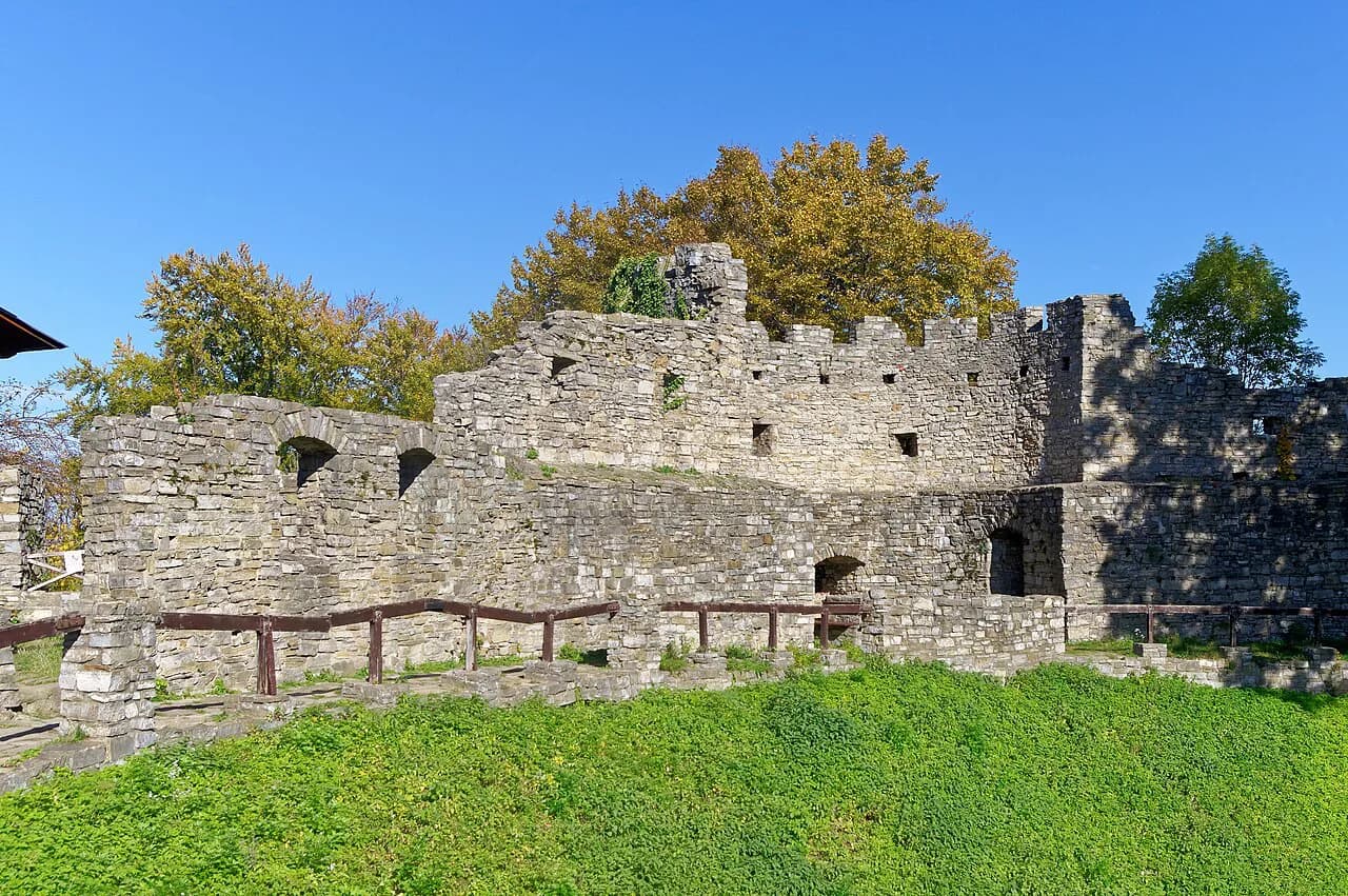
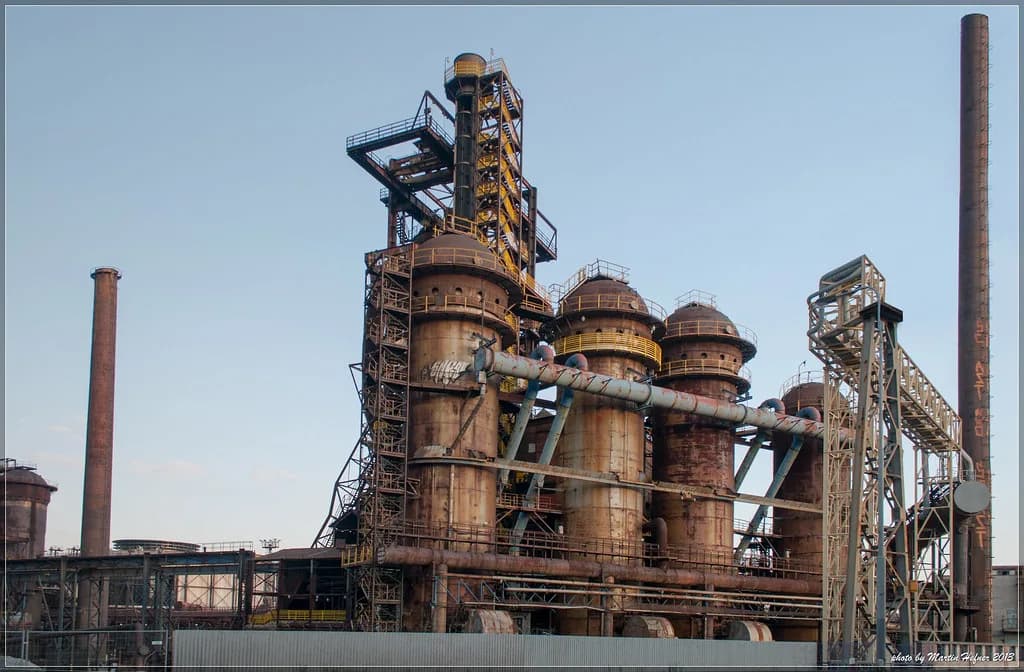
Dolní Vítkovice is the former industrial zone east of the center, and on a map it stands out as a compact block of large structures rather than streets you wander through. Landek Park and the Ostrava zoo sit further out again, so plan them as separate targets instead of tacking them onto a center walk.
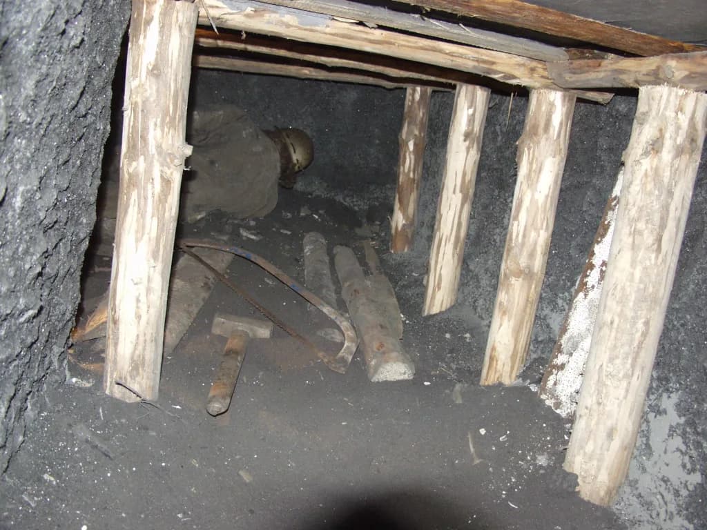
Because these sights are spread out, the map is most useful for deciding what to group in one outing, not for measuring charm on foot. Landek Park in Ostrava has its own visitor guide if you want the mining museum and its setting in detail.
The Ostrava zoo is another outlying target that appears as a distinct green patch on the city map, well away from the historic core. If animals are the draw, the Ostrava zoo guide covers the layout and what to expect.
Reading a tram line on the map
The tram network is the clearest way to read distance in Ostrava, because lines radiate from the center out to the residential and industrial districts rather than looping around a single core. Trace a line from the station or the New City Hall outward and you can see which districts sit on the same corridor.
Use that when you pick an address: two stops on the same line are a short ride apart, while two points on different lines may mean a change in the center. The city map download shows the layout, so you can check before you commit to a route.
Free printed maps: USE-IT Ostrava
USE-IT Ostrava is a free, non-commercial map made by young locals in cooperation with the Ostrava Expat Centre, with English and Czech editions. It is the pick if you want an opinionated, plain-language plan of the city rather than an official street index.
You can pick up a printed copy at the Ostrava Expat Centre on Tyršova street, at OSTRAVAINFO!!! tourist offices, and at places recommended inside the map itself. The project also posts current and older editions as PDF downloads on its site if you prefer to carry it on your phone.
OSTRAVAINFO!!! offices on the map and what to ask for
The OSTRAVAINFO!!! network is the official tourist information service, and its offices sit at useful arrival and sightseeing points. The Elektra office on Jurečkova street opens on weekday mornings from 7:30 to 18:00, while the New City Hall viewing tower office keeps daily hours from 9:00 to 17:00.
The main railway station office is open daily from 9:00 to 17:00, and the Svinov station office likewise serves train arrivals on the northwest side. Ask there for the printed city map and the destination guide, and for the current opening hours of the tower if you plan to go up.
These offices also stock the maps listed on the official guide, including a mini guide dated 2022 and a city map dated 2024. Treat those as the editions on offer rather than assuming they are the newest ones, and ask at the counter what is current.
Downloadable maps and city guides, including the Technotrail
The official VisitOstrava maps page lists several downloads beyond the street map: a mini guide, a destination guide, a Technotrail map and a campsites guide. The Technotrail map is the one to grab if industrial heritage is your reason for coming, since it ties the technical sights together.
Download everything you need before you travel, because sizes and editions on the page change and a PDF on your phone beats hunting for a printer later. The destination guide gives a broader picture of the city than the single-sheet street map, which is useful when you are still deciding what to group together.
Using online maps for addresses, stops and district names
For a specific street address or tram stop, an online map is faster than a paper one, and Czech map services handle local spellings well. Search with the district name included, so "Moravská Ostrava" or "Ostrava-Jih" narrows the result instead of dropping you in the wrong part of the city.
Cross-check the district against your paper map or the downloaded city map before you set out, since the two together catch misspelled streets and confusing duplicates. If a name looks unfamiliar, it is usually a district or a nearby town folded into the built-up area rather than an error.
Which map to carry in Ostrava
Carry two things: a free USE-IT Ostrava map for the readable, local take on the city, and the official OSTRAVAINFO!!! city map for streets and districts. Pick both up at the main station or New City Hall office, or download the PDFs before you go.
With those in hand, the districts fall into place: center for walking, Dolní Vítkovice and Landek for industrial heritage, Ostrava-Jih and Svinov as arrival and residential anchors. Check the official maps page for current office hours and download editions before your trip.
Explore more Ostrava guides
Frequently Asked Questions
Which country is Ostrava in?
Ostrava is in the Czech Republic, in the Moravian-Silesian region near the Polish border. It is not in Slovakia; the old name Czechoslovakia refers to a state that split in 1993.
Does it snow in Ostrava?
Snow is possible in winter months, but no reliable seasonal snow guarantee applies to any given week. Check a short-range forecast before a winter trip rather than planning around averages.
Sources
Notes for your Czech trip
Optional updates to our Czech town guides.
You might also like
Continue reading
More guides you'll find useful