Liberec Map: Where the Center, Ještěd and the Zoo Sit
A Liberec map guide to the main square, the town hall, Ještěd above the city, and the streets that link the bus arrival point to the old town.
On this page
Liberec sits in the Czech Republic's north Bohemian region, and its compact center is easy to hold in your head once you know that almost everything clusters around one square, náměstí Edvarda Beneše. This guide maps the city street by street for the center, then pushes out to Ještěd on the ridge above and to Grabštejn Castle near the German and Polish border; the Liberec: A Guide to the Town Hall, the Center and Ještěd covers the sights in depth.
Use it to plan a walk rather than to navigate in real time: pin the square, the town hall and the church on your phone map before you arrive, then treat the hills and the spread of the outer districts as the parts a screen flattens. The full Liberec Guide covers the sights in depth; this page is about where each one sits relative to the others.
Liberec on the map: north Bohemia, close to the borders
Liberec lies in the north of the Czech Republic, in the region that shares borders with Germany and Poland, and the city grew rich on the Flemish and German textile trade. That trading past is written into the architecture of the center, which is why the buildings around the main square look more like a prosperous German city than a small Czech town.
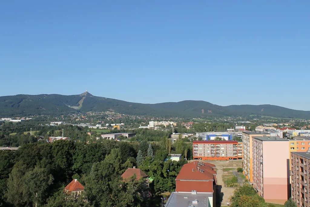
On a national map, Prague sits well to the south, and Liberec reads as the first big city you meet heading north. Pin the center on your map first, then the ridge with Ještěd Tower above town, and finally the border area to the north where Grabštejn Castle stands near Hrádek nad Nisou.
The center in brief: náměstí Edvarda Beneše and the town hall
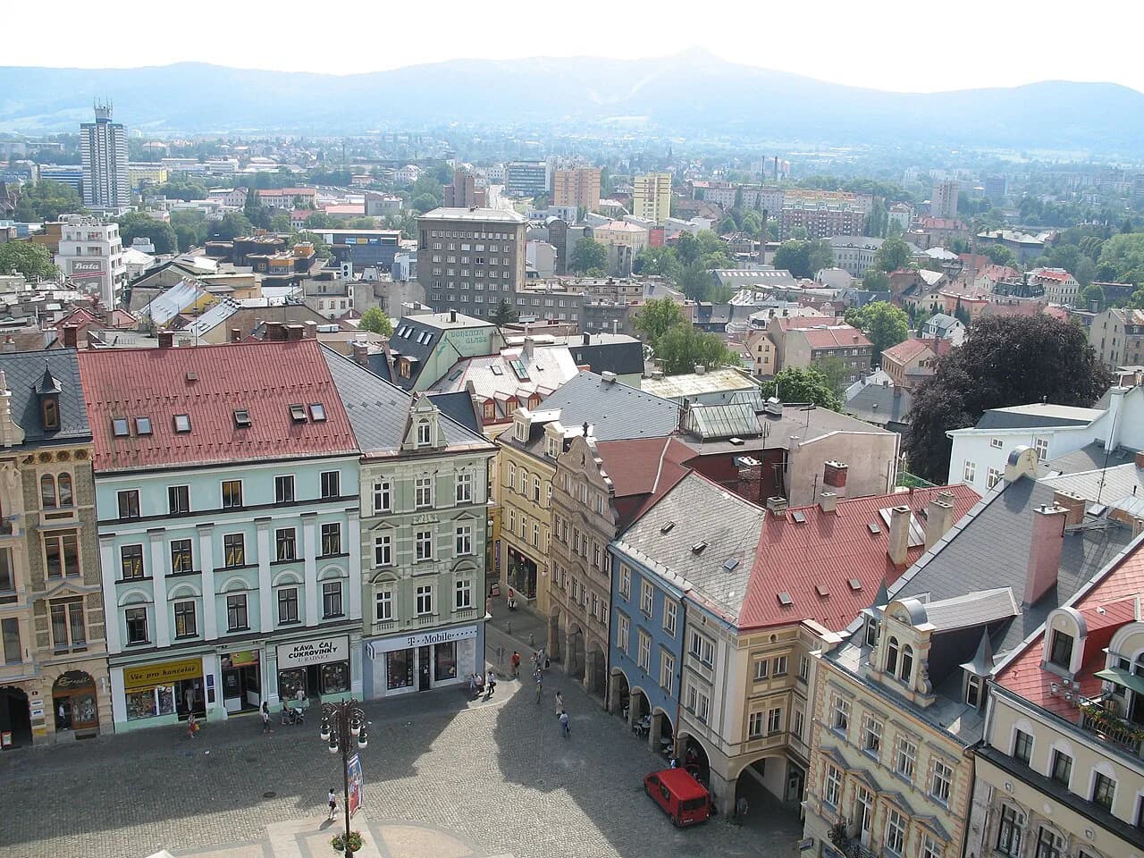
The main square, náměstí Edvarda Beneše, is the anchor for everything in the center, a broad open space ringed by colorful houses of differing styles. The building that dominates it is the town hall, a neo-renaissance structure erected between 1888 and 1893 on the site of an earlier building from 1602, designed by the Austrian architect Franz Neumann after an open competition.
Its five-storey facade carries a loggia, balconies and three pinnacles, with a statue of the medieval knight Roland on the central spire blessing the council's deliberations below. A plaque on the front of the hall commemorates nine citizens killed in August 1968 when a convoy of Warsaw Pact tanks smashed into adjacent buildings, so the square carries a layer of modern history as well as nineteenth-century civic pride.
Getting from the bus arrival point into the old town on foot
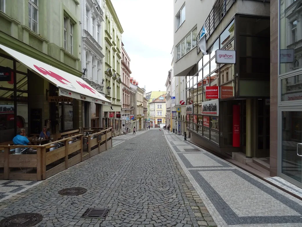
If you arrive by the yellow bus from Prague, you step off at the edge of the old town rather than at a central station forecourt. From there the way in is a short walk up mostly pedestrian streets, Moskevská or Pražská, and the square appears at the top of the climb.
Two practical consequences follow from that layout. First, keep your map zoomed in enough to see street names, because the arrival point and the square sit close together and look confusingly similar at a low zoom. Second, the walk is uphill, so a traveler with luggage should count on a slower pace than the map suggests rather than planning a long detour through the surrounding blocks.
Streets that carry you into the square: Moskevská and Pražská
Moskevská and Pražská are the two approach streets that funnel arrivals from the bus drop-off into the pedestrian core leading to náměstí Edvarda Beneše. Treat them as your entry corridor and orient yourself by which one you came up, because they converge on the same square from slightly different angles.
Once you are on the square, the correct move is to stop looking at the map and start reading the buildings. The town hall is unmistakable for its scale and spire, and Hotel Praha, an art nouveau building from 1906 with a lobby worth stepping into, sits among the colorful houses on the square itself.
Landmarks to pin: the town hall, the church and the villas
Pin three kinds of thing on your center map: the town hall on náměstí Edvarda Beneše, the Church of the Holy Cross, and the villa streets that hold much of the city's best architecture. The villas are the part travelers tend to miss, and they sit away from the square in residential streets rather than on the main sightseeing loop.
Liberec's appearance today owes most to the boom at the end of the nineteenth and beginning of the twentieth century, when the city was part of Austria-Hungary and the majority of its striking architecture went up. That dating tells you what to look for as you walk: historicist civic buildings around the square and art nouveau facades on the surrounding blocks.
Ještěd above the city: the tower, the hotel and the restaurant
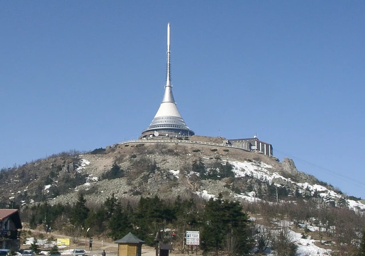
Ještěd is the peak above Liberec, and the tower on its summit holds a hotel and restaurant rather than being a bare lookout. On a map it reads as a point just outside the city; in practice it is a separate trip from the center, so plan it as its own outing instead of tagging it onto a walk around the square.
The restaurant up top is arranged in a circle, which gives diners the panorama, and the hotel lists its own contact details for table reservations. Details of the tower itself are on the Ještěd Tower page, and the wider Liberec Guide covers how the peak fits with the rest of the city.
Eating up on Ještěd: restaurant hours and the daytime menu window
The Hotel Ještěd restaurant opens every day at 11 a.m. and runs to midnight, with drinks served from 10 a.m.; it closes only on December 24. The daytime menu can be ordered until 5:15 p.m., soups from that menu until 6 p.m., and the evening menu runs from 6 p.m. to 9:30 p.m.
There is also a bistro on the gallery opening daily from 9 a.m. to 7 p.m., and a terrace kiosk that operates in summer in good weather from 9 a.m. Booking a table is advised, especially for dinner, while weekend and public-holiday lunches can fill every seat. The kitchen says it cooks from scratch with ingredients from small local producers and organic farms, which is why the food costs a little more.
What a map will not tell you: scale, hills and how the city spreads
Liberec is the fifth-largest city in the Czech Republic, and a screen flattens both its hills and the distance between the compact center and the outer districts. The center you can walk; the rest of the city is spread out, so judge any pin by whether it sits inside the square-and-villas core or outside it.
Use a real map service for addresses and let the street layout do the work of orientation. The city's older history reaches back to a first mention in 1348 and city rights two centuries later, which explains why the street pattern around the square feels medieval even where the buildings are nineteenth-century.
Grabštejn Castle as a separate trip to the north
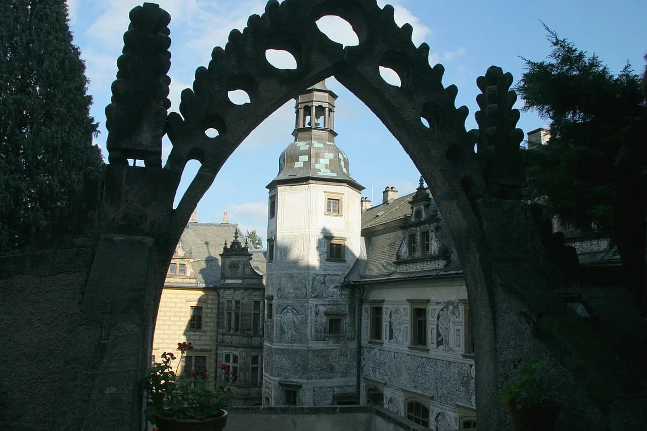
Grabštejn Castle stands on a rocky height near the small town of Hrádek nad Nisou, in the Liberec region, where it once guarded the trade route into Bohemia and the border where the Czech Republic, Germany and Poland meet. It is a half-day trip out of Liberec, not a stop on a walk around the center, so give it its own line on your route map.
The visit follows the noble family's chambers and servants' rooms backward through time from the mid-sixteenth century to the early twentieth, and the St. Barbara Chapel holds late-Renaissance paintings described as unique in the country. The castle's round tower opens a long view to the three-country border, and the cellars hold an archaeological exhibition.
The castle has been under the state heritage institute's administration since 1990 and is being restored in stages, so treat tour times and admission as things to confirm with the castle directly before you set out. Its address and contact email are listed with the castle's own pages, which is where to check the current visiting arrangements.
Which pins belong on your Liberec map?
Build the map in layers: náměstí Edvarda Beneše with the town hall and Hotel Praha as the fixed center, Moskevská or Pražská as your approach from the bus, the Church of the Holy Cross and the villa streets as the second ring, and Ještěd as a separate climb out of town. Add Grabštejn Castle only if you are giving the northern border a half day of its own.
That arrangement keeps the walking day realistic and stops Ještěd from turning into a rushed detour. The Liberec Attractions: 4 Visitor Guides hub links the individual sights when you are ready to plan each one in detail.
Explore more Liberec guides
Frequently Asked Questions
What country is Liberec in?
Liberec is in the Czech Republic, in the north Bohemian region near the German and Polish borders. Its center is built around náměstí Edvarda Beneše, with the town hall as the dominant building on the square.
Where does the bus from Prague drop you in Liberec?
At the edge of the old town rather than at a central station forecourt. From there you walk up the mostly pedestrian streets Moskevská or Pražská to reach the main square, so keep your map zoomed in enough to read street names.
Is Ještěd part of Liberec or a separate trip?
Ještěd is the peak above the city, reached as its own outing rather than folded into a walk around the center. The summit tower holds a hotel and restaurant, and the restaurant serves a daytime menu and an evening menu at different times.
Sources
Notes for your Czech trip
Optional updates to our Czech town guides.
You might also like
Continue reading
More guides you'll find useful